Coastal Road Trip from Puerto Escondido: The Complete Guide
Few drives on Earth rival the raw beauty of Mexico’s Oaxacan Pacific coast. Whether you’re heading west toward the hidden lagoons of Chacahua or east toward the bohemian towns of Mazunte and Zipolite, a coastal road trip from Puerto Escondido puts some of Mexico’s most stunning, least-touristed scenery right outside your window. This guide covers both directions — with everything you need to plan an unforgettable journey along the coast.
Why Puerto Escondido Is the Perfect Road Trip Base
Puerto Escondido sits at the heart of the Oaxacan coast — roughly equidistant from the Chacahua lagoon system to the west and the cluster of alternative villages (Mazunte, Zipolite, Puerto Ángel) to the east. That central position makes it the ideal starting point for multi-day coastal exploration.
The town itself isn’t just a waypoint. Zicatela’s legendary surf break, the calm family-friendly bay of Carrizalillo, the artsy neighborhood of La Punta, and the colorful Mercado Benito Juárez are all worth at least a day of your time before you hit the road. Many travelers find they keep returning to base here between day trips — and honestly, that’s a great strategy.
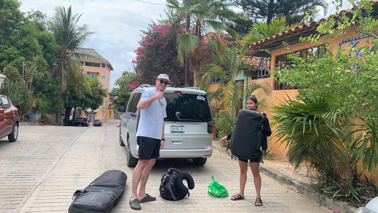
Getting a Vehicle
Several car rental agencies operate in Puerto Escondido, and rental rates along this stretch tend to be competitive. A compact SUV or a sturdy sedan handles the coastal highway well; most of the road is paved federal highway (Mexico Federal Highway 200), though some side detours — especially toward lagoons or remote beaches — involve unpaved tracks where higher clearance helps. An automatic transmission is available in most rentals and makes the hilly curves less stressful for drivers unfamiliar with the terrain.
Road Conditions & Safety Basics
- Highway 200 is well-maintained and generally safe during daylight hours.
- Drive during the day — avoid night driving on stretches between towns.
- Topes (speed bumps) appear suddenly before villages; slow down through every town.
- Keep fuel topped up — gas stations are spaced out between major towns.
- Cell service can be patchy in remote areas; download offline maps before departing.
- Keep a copy of your vehicle documents and ID accessible at all times.
Heading West: Puerto Escondido to Chacahua
The western route takes you through a landscape that feels worlds away from the tourist trail. Beyond the town of Río Grande, the highway skirts the edge of a vast lagoon system — home to mangroves, bird colonies, and crocodiles — before reaching the small fishing community of Chacahua, accessible by boat across the lagoon.
Highlights Along the Western Route
Laguna de Chacahua & Parque Nacional Lagunas de Chacahua
This national park, protected by CONANP (Comisión Nacional de Áreas Naturales Protegidas), encompasses a labyrinthine network of lagoons, sandbars, and mangrove channels. The boat crossing from the road to the village of Chacahua takes about 30–45 minutes and passes through narrow mangrove corridors — one of the most atmospheric water journeys on this coast. Join a full-day Chacahua Tour from Puerto Escondido if you prefer a guided experience with transportation included.
Kayaking & Mangroves Near Colotepec
Before reaching Chacahua, the estuary near Colotepec is excellent for exploring by kayak. Paddling through the mangroves at dawn — with herons lifting off from the water and the cool air still holding the night’s humidity — is genuinely one of the most meditative experiences on this coast. You can organize a Kayaking in the Mangroves trip through your base in Puerto Escondido.
Bird Watching in the Lagoon
The lagoon systems west of Puerto Escondido are among southern Mexico’s most productive birding zones, with species ranging from roseate spoonbills and frigatebirds to various heron species. Dedicated Bird Watching in the Lagoon tours operate from Puerto Escondido and often venture into these very waterways.
Western Route Snapshot
| Destination | Distance from Puerto Escondido | Approx. Drive Time | Highlight |
|---|---|---|---|
| Río Grande | ~25 km | ~30 min | Local market, fuel stop |
| Laguna Chacahua (boat access) | ~65 km | ~1 hr 20 min + boat | National park, bioluminescence, fishing village |
| Mangrove Estuary (Colotepec area) | ~20 km | ~25 min | Kayaking, bird watching |
Heading East: Puerto Escondido to Mazunte, Zipolite & Huatulco
The eastern stretch of Highway 200 is the most popular road trip direction from Puerto Escondido, and for good reason. Within 100 kilometers, you pass through genuinely distinct communities, each with its own vibe, history, and beaches.
Puerto Ángel
A small, calm fishing bay about 65 km east of Puerto Escondido. Puerto Ángel feels unhurried and local — it’s a good lunch stop or overnight if you want to avoid the slightly larger Huatulco scene. The bay is sheltered, making it calmer for swimming than the open-ocean beaches further west.
Zipolite
Zipolite has earned its reputation as one of Mexico’s most laid-back beaches. The long, open-ocean strand draws travelers looking for a quieter, less-commercialized atmosphere. It’s a beautiful stop even for a few hours — park on the road above and walk down to the beach.
Mazunte
Mazunte is a village that reinvented itself around community-based, sustainable tourism after the sea turtle industry collapsed in the 1990s. Today it’s known for the Centro Mexicano de la Tortuga, natural cosmetics cooperatives, and the stunning viewpoint of Punta Cometa — the southernmost point of Oaxaca state, and one of the best sunset-watching spots on this entire coast. Consider booking a dedicated Mazunte – Zipolite – Punta Cometa Tour to take in all three in one comfortable guided day.
Huatulco
Huatulco is the largest planned resort town on this stretch of coast, with nine bays, an international airport, and a more developed tourism infrastructure. It’s worth at least a half-day, especially for the contrast with the smaller communities you’ll have passed through. A structured Huatulco City Tour is a good way to see the bays and the charming Crucecita village efficiently.
Eastern Route Snapshot
| Destination | Distance from Puerto Escondido | Approx. Drive Time | Don’t Miss |
|---|---|---|---|
| Puerto Ángel | ~65 km | ~1 hr 10 min | Calm bay, local seafood |
| Zipolite | ~70 km | ~1 hr 20 min | Long open beach, relaxed vibe |
| Mazunte | ~75 km | ~1 hr 30 min | Punta Cometa sunset, turtle center |
| Huatulco (La Crucecita) | ~110 km | ~1 hr 45 min | Nine bays, markets, coffee culture |
Best Experiences to Add to Your Road Trip Itinerary
A road trip along this coast isn’t just about driving between points on a map — it’s about layering in experiences that would be impossible anywhere else. Here are some of the most memorable additions, bookable from Puerto Escondido:
- Bioluminescence Tour — Paddle through glowing water at night in the lagoon near Chacahua. One of the most otherworldly natural phenomena you’ll ever witness.
- Sea Turtle Release — Participate in the release of hatchlings on a local beach, a conservation experience run in coordination with local turtle camps.
- Whale Watching — Between November and March, humpback whales migrate along this coast. A morning boat tour is the best way to catch them.
- Sunset Horseback Riding — Ride along the beach or through the hills at golden hour — an iconic coastal experience.
- Mezcal Tour — Head inland briefly for a journey through the world of Oaxacan mezcal production, one of Mexico’s most important cultural exports.
“We rented a car for five days and used Puerto Escondido as our base. Day one we went west to Chacahua — the boat through the mangroves was surreal. Days two and three we went east, stopping at Zipolite and Punta Cometa for the sunset. On day four we did the bioluminescence tour at night. By the time we left, we felt like we’d lived here for a month.”
— Sofía R., Mexico City
Practical Road Trip Planning Tips
Best Time to Go
The dry season — roughly November through April — offers the most reliable driving conditions. The rainy season (June to October) brings lush jungle and fewer crowds, but some dirt roads become impassable and afternoon rains are common. December through March is peak season; book accommodation in advance if traveling then.
What to Pack for the Car
- Reusable water bottles (fill up in towns; hydration is critical in the heat)
- Sunscreen and insect repellent
- Cash in pesos — many small towns and beach vendors don’t accept cards
- A portable phone charger
- Light layers for air conditioning and cool evenings
- Snacks and a cooler for remote stretches
- A basic first-aid kit
- Offline maps (Maps.me or Google Maps offline downloads)
Accommodation Tips
Puerto Escondido has the widest range of accommodation — from boutique hotels above Carrizalillo to budget cabañas near La Punta. Using it as a base and doing day trips is often the most convenient approach, particularly if you’re renting a car for the whole duration. Mazunte and Zipolite also have solid guesthouses if you want a night in each place.
Road Trip Length Guide
| Trip Length | Recommended Focus |
|---|---|
| 1–2 days | One direction only (east to Mazunte or west to Chacahua) |
| 3–4 days | Both directions with one overnight stop |
| 5–7 days | Full exploration of both routes plus inland excursions |
| 7+ days | Deep immersion: activities, culture, remote beaches |
Frequently Asked Questions
Is it safe to drive Highway 200 along the Oaxacan coast?
Yes — Highway 200 between Puerto Escondido and Huatulco is considered safe for travel during daylight hours. Standard precautions apply: drive during the day, keep valuables out of sight, and check current conditions with your accommodation before setting out. The Oaxaca State Tourism Office and SCT (Secretaría de Comunicaciones y Transportes) provide updated road condition information.
Do I need a 4×4 vehicle for this road trip?
For the main Highway 200 route, any vehicle is fine. If you plan to venture off the highway toward remote beaches or the lagoon approaches near Chacahua, a vehicle with higher ground clearance (compact SUV) is helpful, especially in the rainy season.
How far is Mazunte from Puerto Escondido?
Mazunte is approximately 75 km east of Puerto Escondido, about a 1.5-hour drive depending on stops. It’s very manageable as a day trip.
Can I visit Chacahua as a day trip from Puerto Escondido?
Yes, though it makes for a full day. The drive is roughly 1 hour 20 minutes, then a 30–45 minute boat ride to reach the village. Allow at least 6–8 hours total. A guided Chacahua Tour handles logistics for you.
What’s the best sunset spot on the coastal road trip?
Punta Cometa in Mazunte is widely considered the best sunset viewpoint on the entire Oaxacan coast — a rocky promontory jutting into the Pacific with 270-degree views. Arrive at least 45 minutes before sunset to claim a good spot.
Is there a toll on Highway 200?
The section of Highway 200 along the Oaxacan coast between Puerto Escondido and Huatulco does not have toll booths on the main road. Some connecting roads in other parts of Oaxaca do. Verify with your rental agency at time of pick-up.
Hit the Road — The Coast Is Calling
A coastal road trip from Puerto Escondido is one of those travel experiences that stays with you long after the sunburn fades. Between the lagoons, villages, viewpoints, and open-ocean beaches, every kilometer of Highway 200 has something worth slowing down for. Whether you spend one day or one week exploring in both directions, you’ll come back to Puerto Escondido with a deeper appreciation for just how extraordinary this stretch of Mexican coastline really is.
Disclaimer: Information may change; please confirm schedules, regulations, and availability before booking. For legal, environmental, or safety matters, consult local authorities or official sources. For the most up-to-date tour availability, visit our reservations page.
Useful Official Resources
- Oaxaca State Tourism — Puerto Escondido
- SCT — Secretaría de Comunicaciones y Transportes (Road Info)
- CONANP — Lagunas de Chacahua National Park
